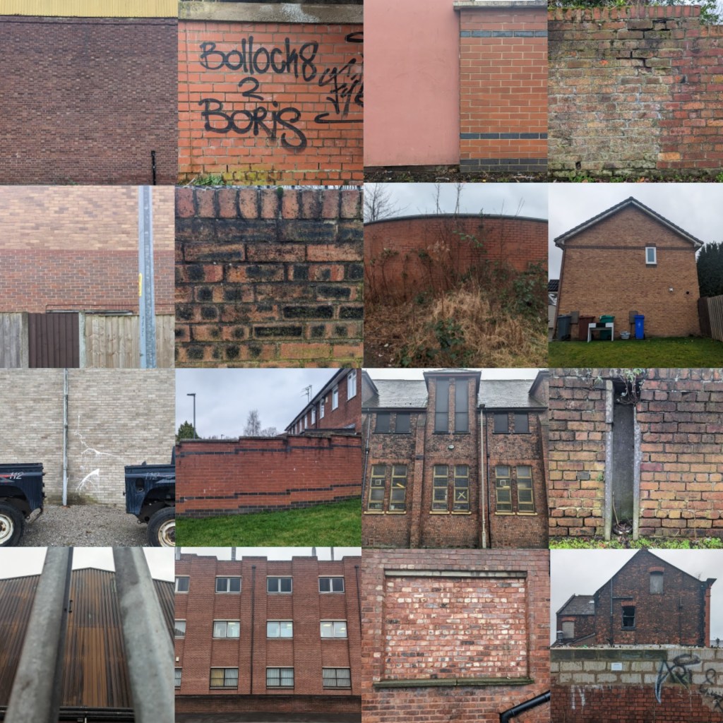
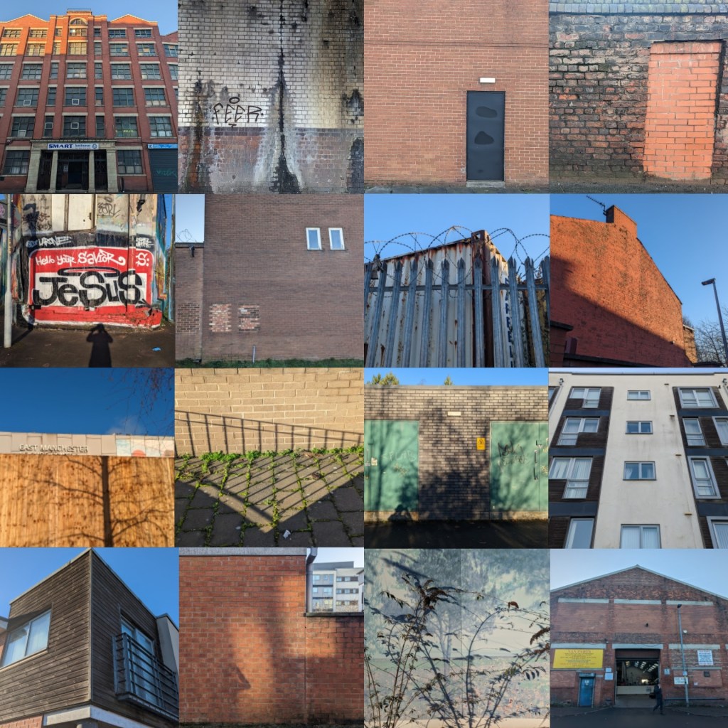
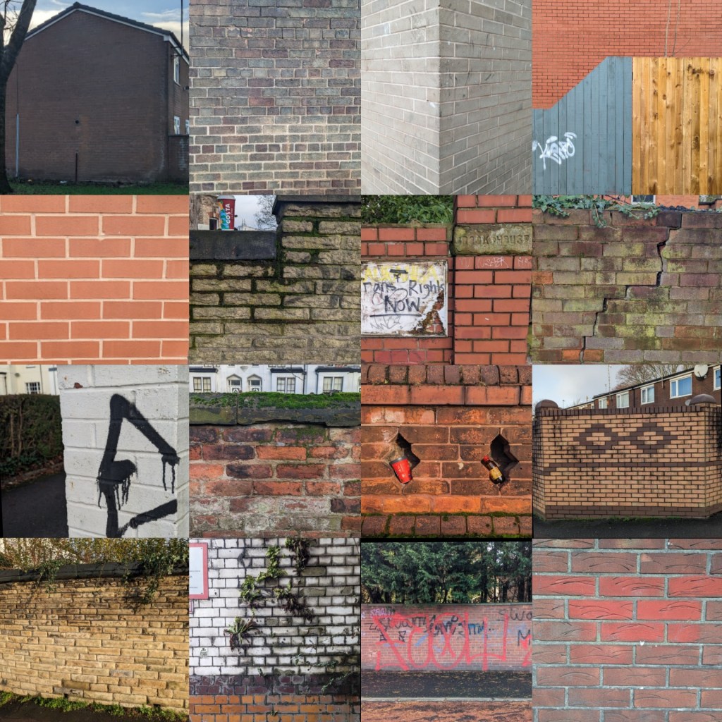
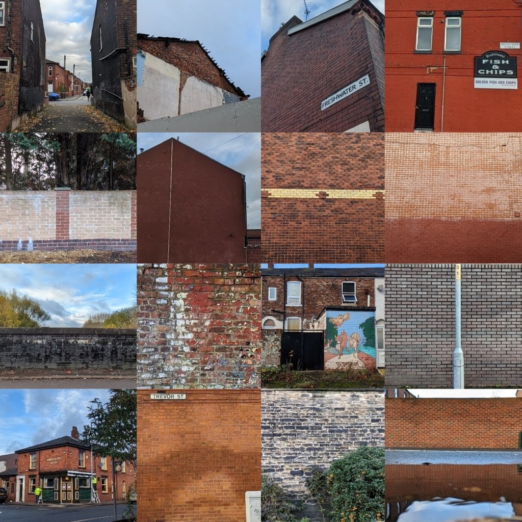
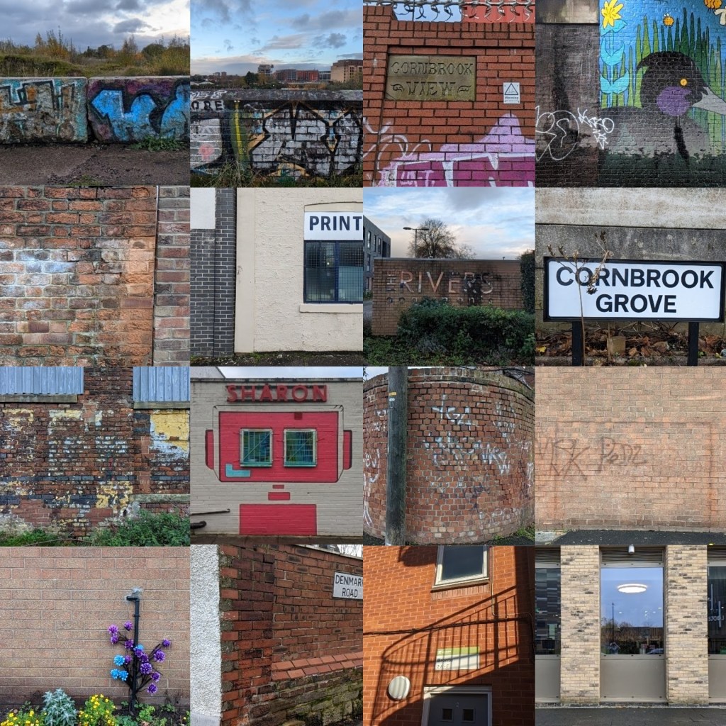
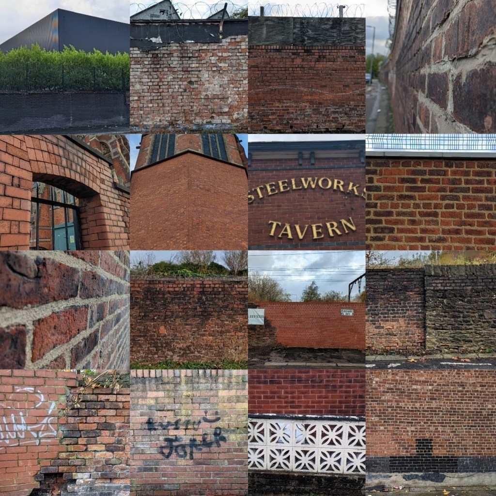
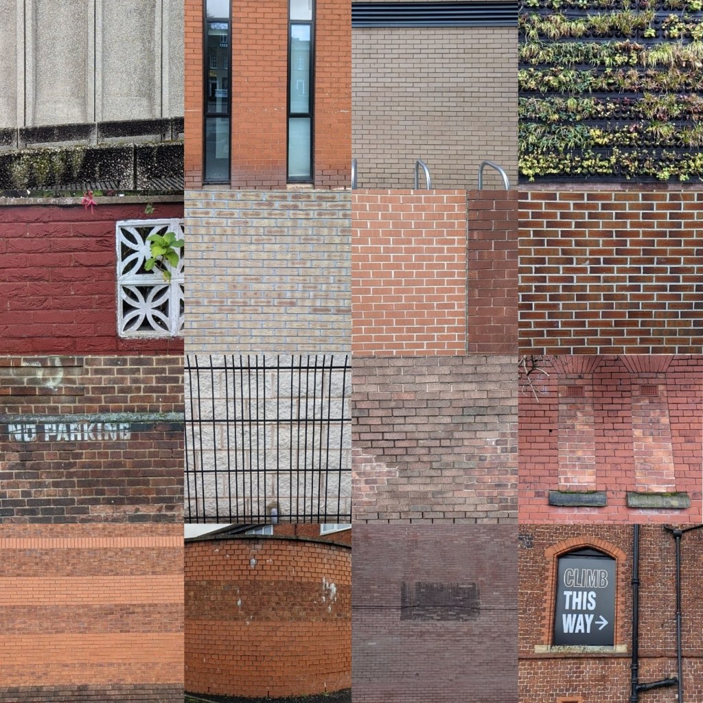
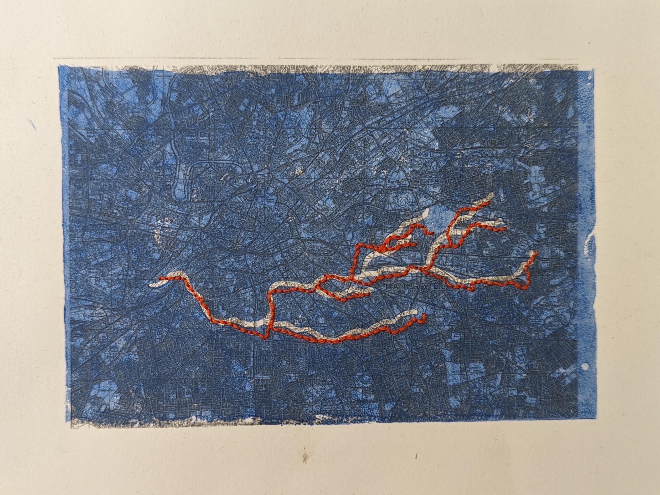
The Cornbrook river runs underneath the streets of south Manchester and few know of its Culverted existence. Spanning from Openshaw in the east it travels all the way across to the Manchester Ship Canal at Pomona Island. I have traced the hidden route of the cornbrook and drawn a line with my body acting as a pencil as I run on the streets above as close to the underground river route as possible, travelling through wasteland, new build apartments, parks, estates, industrial areas and terraced streets. The routes have taken me into new parts of Manchester I had never been before discovering beauty and life in unusual places and I have documented this through a variety of means including photography, film, performance and stitch.
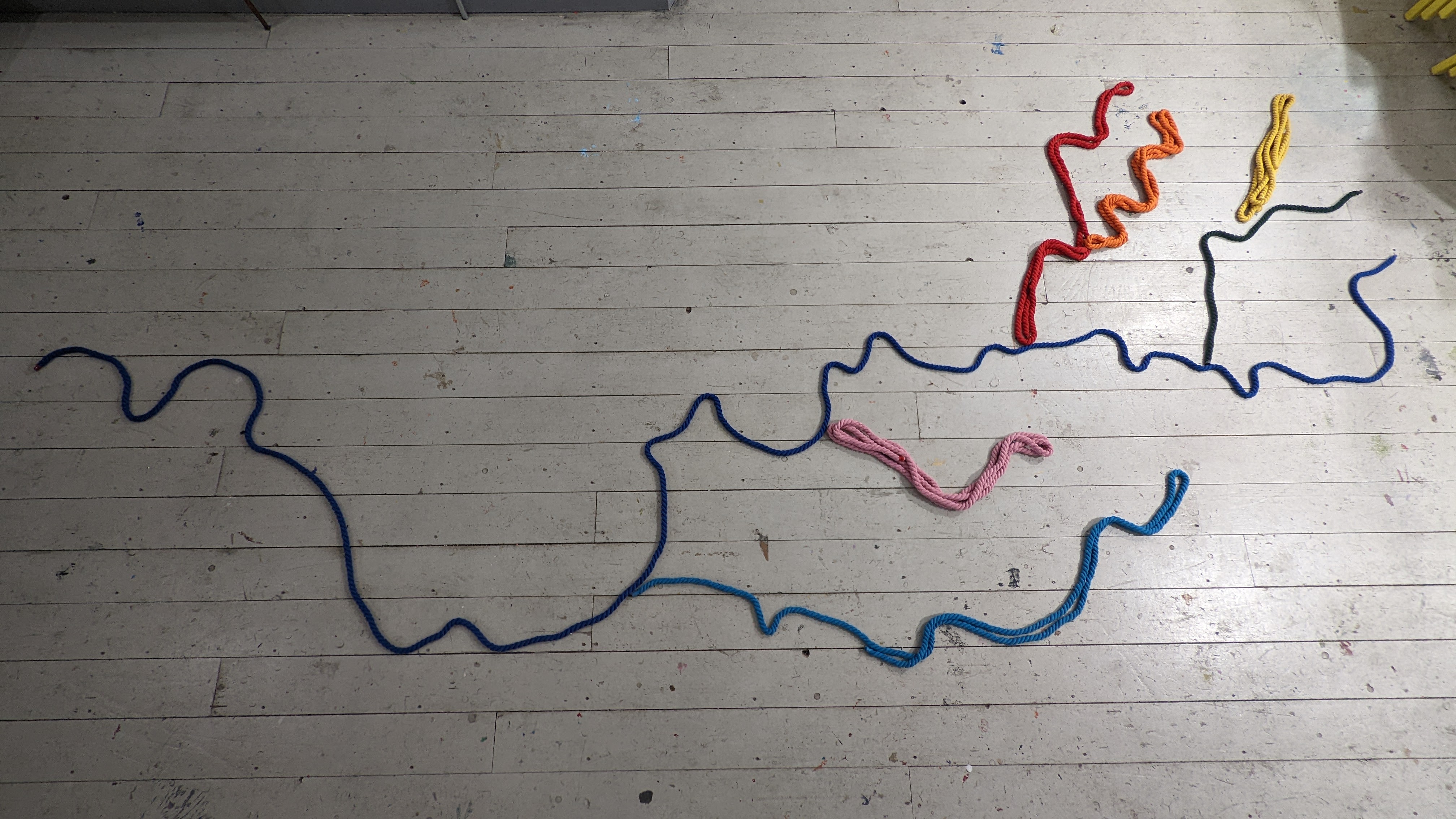
The line of the river has been ingrained in my mind and I keep coming back to it. Different runs depicting different parts of the route, it has become me.
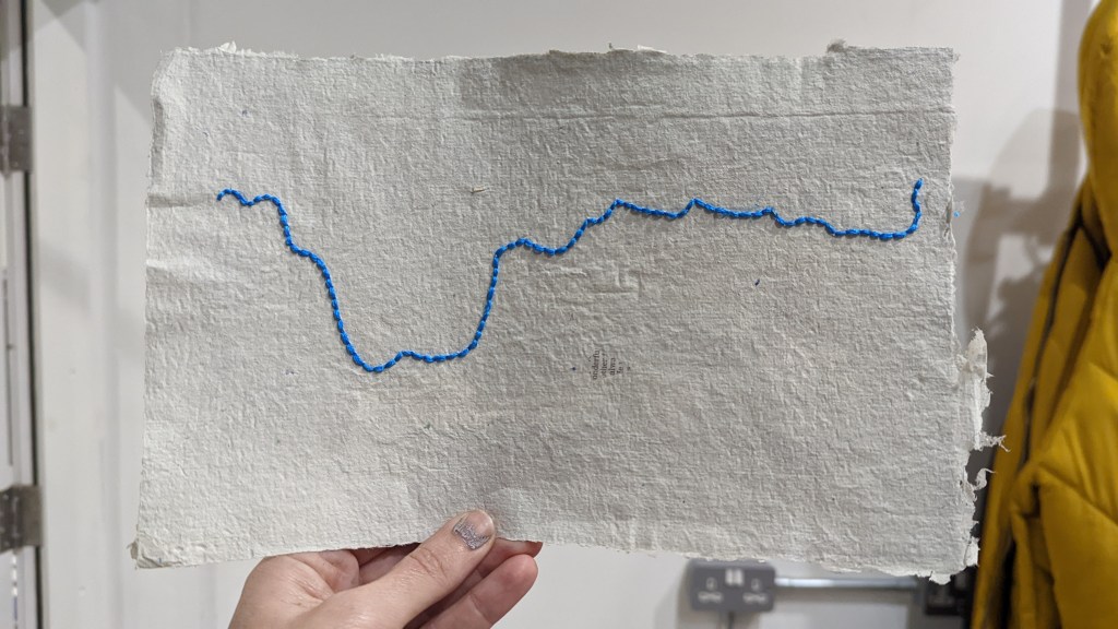
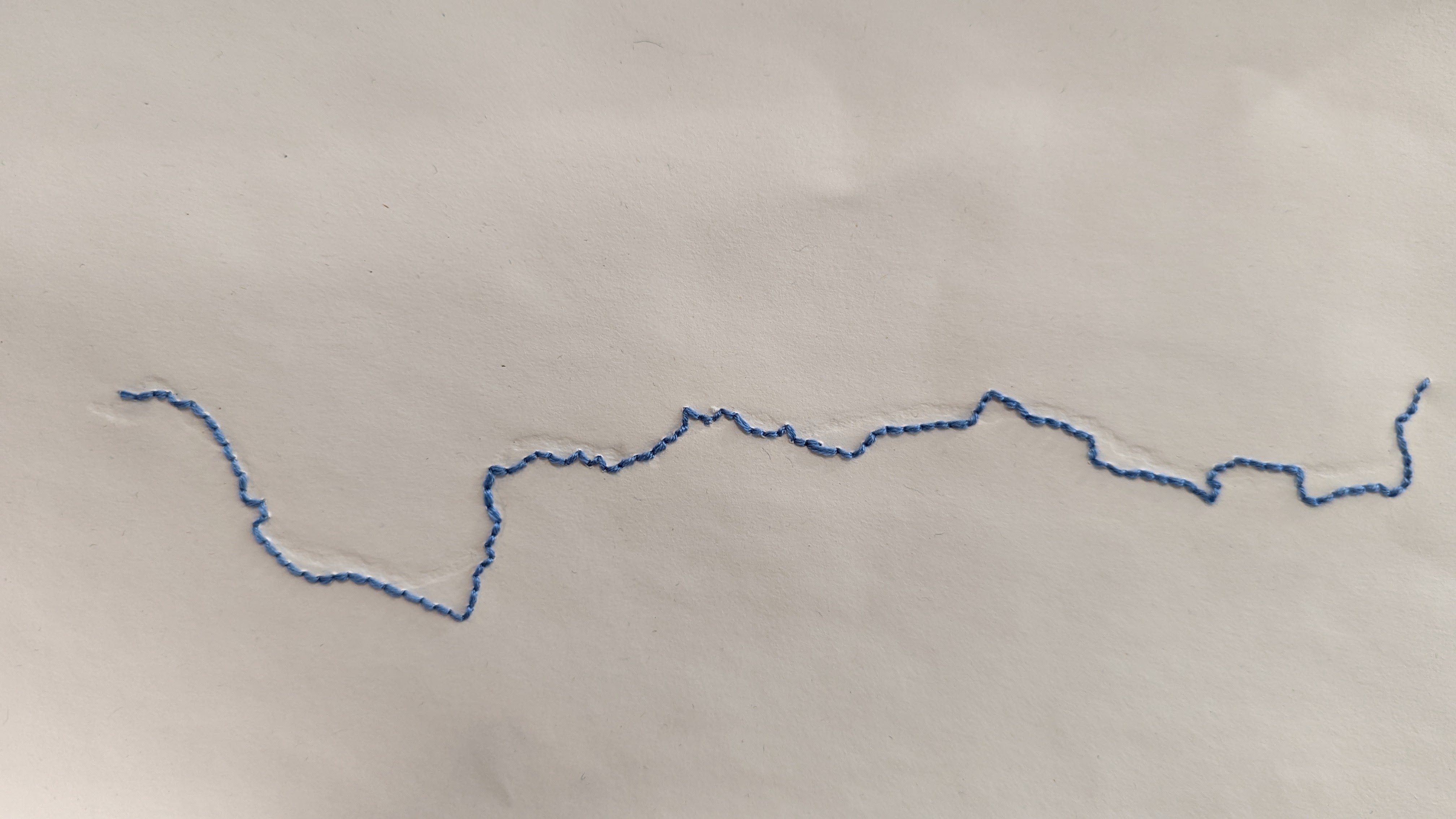
I have experimented with subtly highlighting the river route and then my running route has been stitched on top. We often don’t know what’s hiding beneath the surface.
I like the contrast between the scale of physically running the whole way across Manchester and then re-creating the route in a small scale through running stitch. Both are calming meditative practices that offer me respite in a busy life.
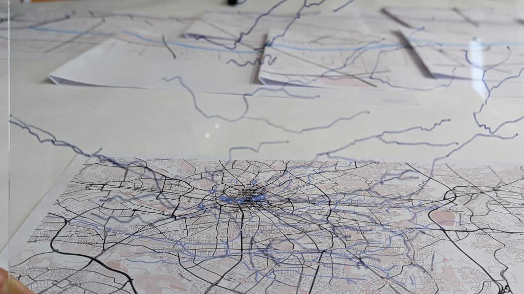


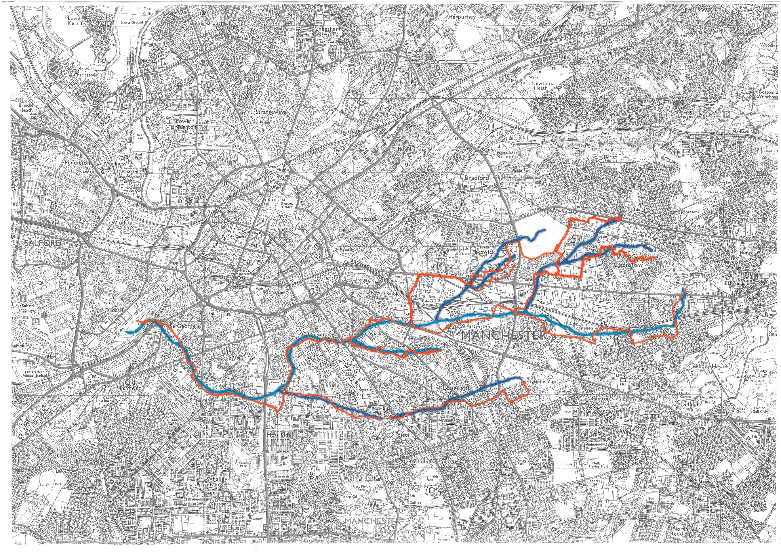
With special thanks so The Hidden Manchester Map which helped me discover the route of the cornbrook culvert
Martin Zero and his cornbrook culvert videos!
And John Piprani and the Walk the Cornbrook project .
